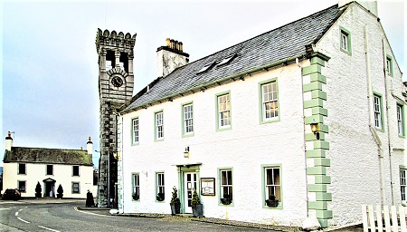
Before "The Cut" was opened in 1823, the main entrance into Gatehouse from the east and south came past Cushat Wood and down into what is now called Ann Street through the grounds of Rosebank (before the house was built - now called Cheriton Wood). The original toll-house or "Gait House", where fees were paid to cross The River Fleet, is now between The Murray Arms and The Masonic Arms. The road into Gatehouse was simply referred to as the "Old Military Road", until The Cut was opened. At this time the name Ann Street came into use and probably came from Lady Ann Murray, wife of Alexander Murray of Cally.
Check the general layout of this route using this Link to original OS map of Gatehouse, published 1854.
Link to Google Maps Street View at Ann Street
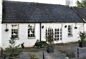
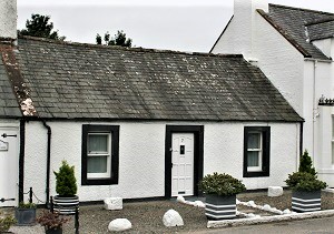
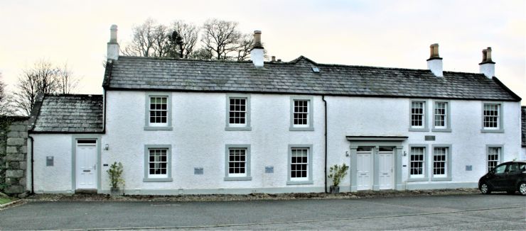
Click on the house name or number to find out what we know about each property in Ann Street.
Each Link will open a .pdf file
|
|
|
|
|
|
|
.jpg)
|
|
|
|
|
|
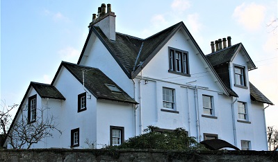
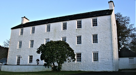
Cheritonwood |
|
|
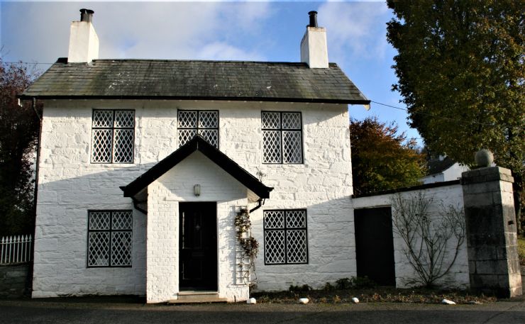
Cox's Lodge |
|
|
|
|
|
|

|
|
|
|
|
|
|
|
|