Aerial Views - Close-ups
Nowadays aerial photos are generally taken by drones. Subjects can be carefully viewed before photographing. We have managed to aquire a number of photos that were taken from a small plane in 1978. These we present below :
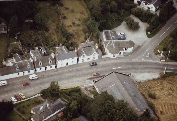
Woodside Terrace.
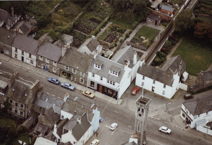
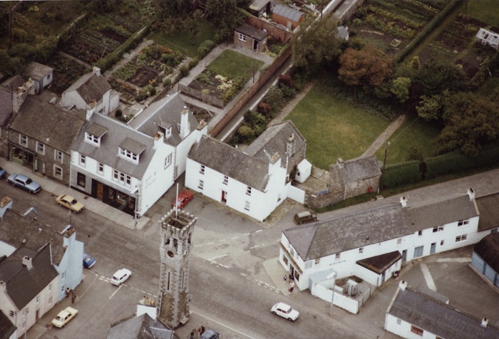
Clock Tower 1
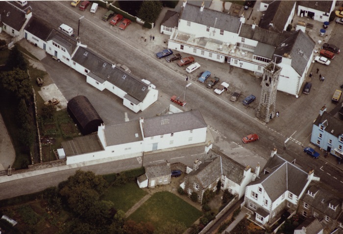
Clock Tower 2
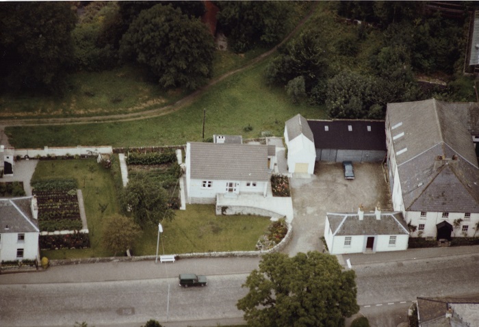
Clock Tower 3
.jpg)
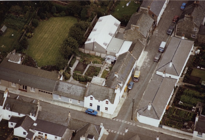
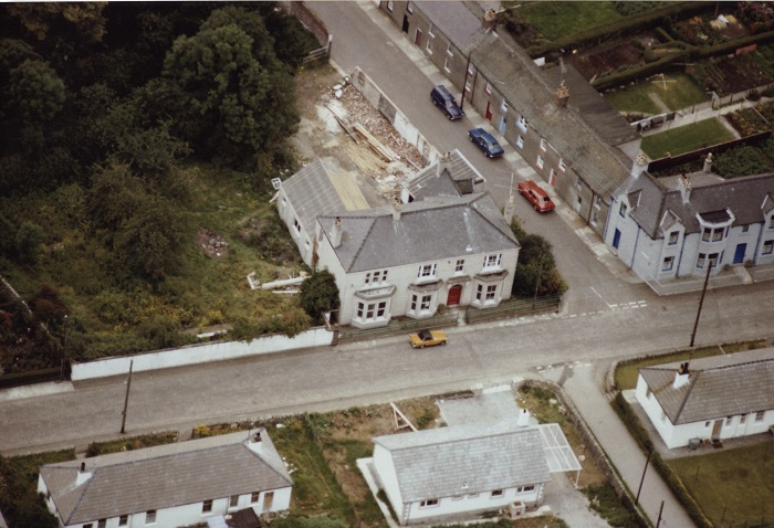
Corner of High Street & Digby Street, showing the Bank o' Fleet Hotel and the Old Town Hall after partial demolition.
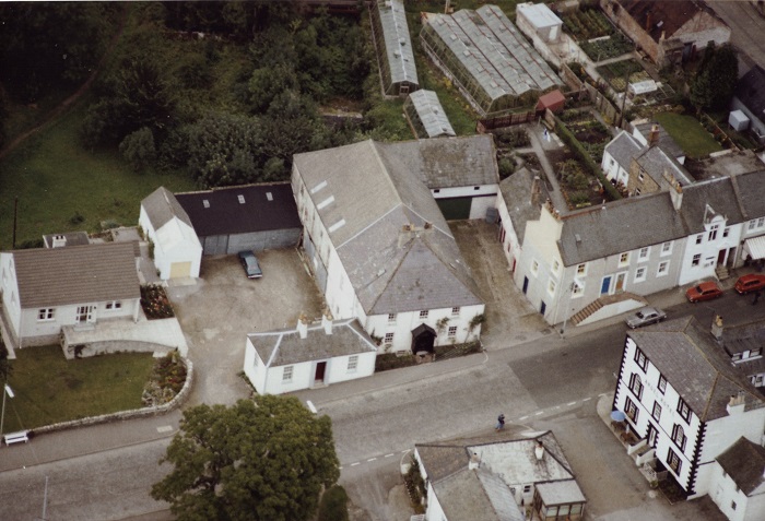
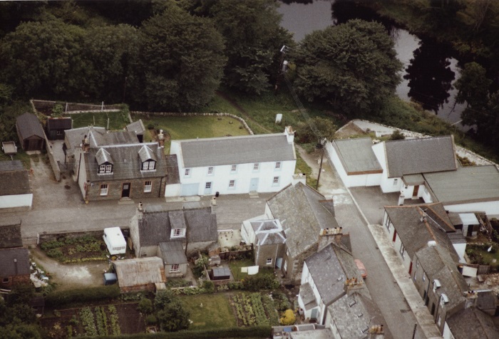
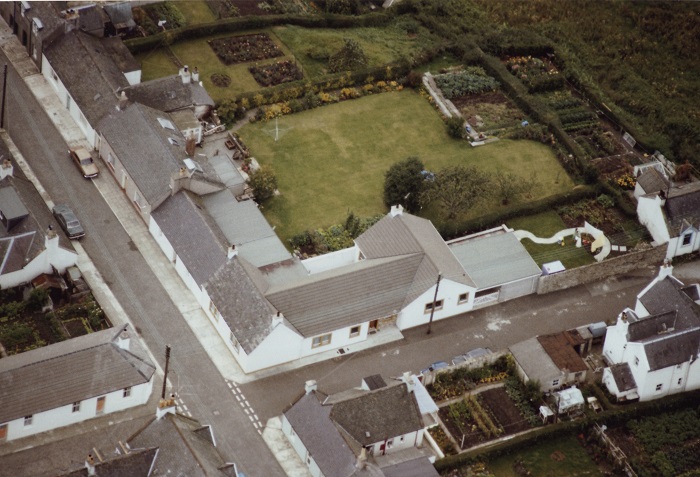
Part of Brewery Brae showing Tigh an Lios and the Brewery.
The Brewery - note the industrial greenhouses at The Smithy (top).
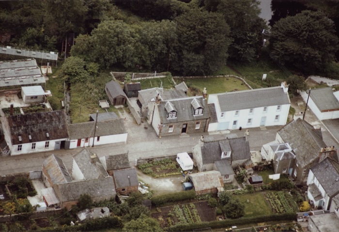
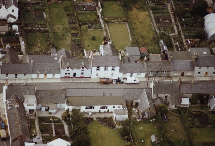
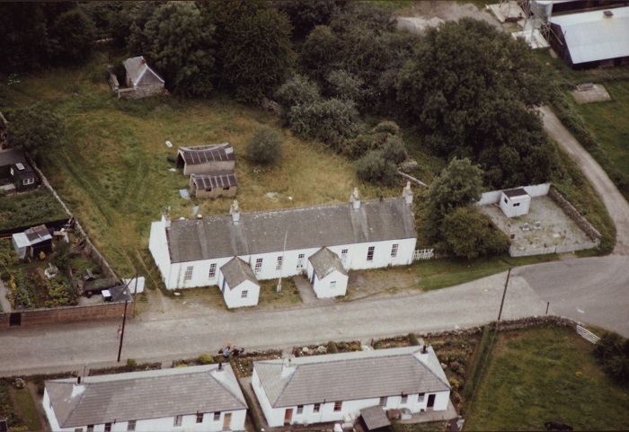
Victoria Street - The Smithy, Old Fire Station, Police Station & Bobbin Mill Cottage.
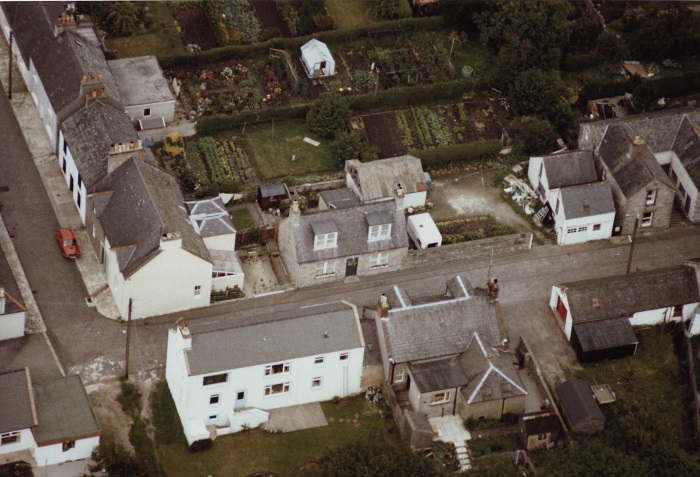
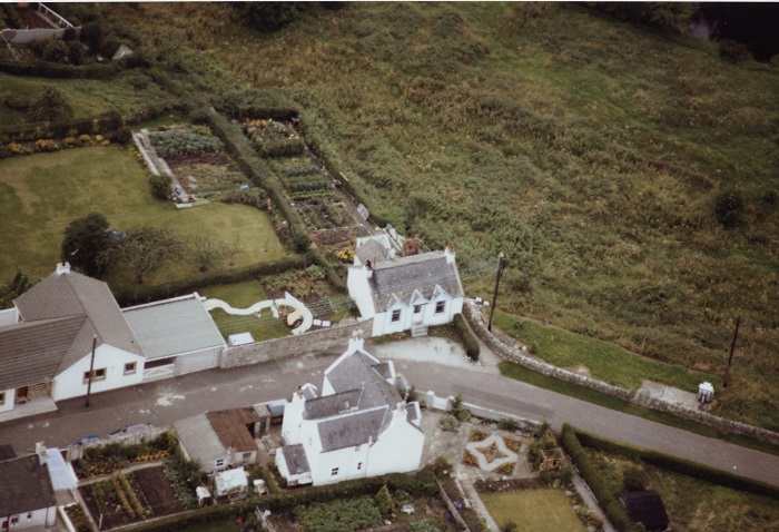
Corner of Victoria Street and Catherine Street - Bobbin Mill Cottage & Police Station in foreground.
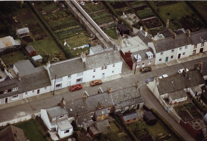
Another view of the corner of Victoria Street & Catherine Street, showing Otterbank on the right.
Corner of Catherine Street and Digby Street - white building top centre is the Scout Hall.
Corner of Catherine Street and Digby Street from the other side.
Catherine Street from the SE- Digby Street is far left.
Digby Street - Glenavon and Fleetview on opposite sides.
.jpg)
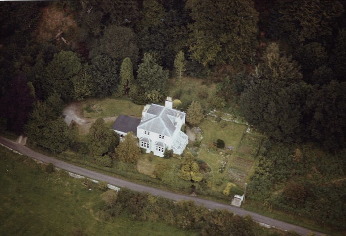
At west end of Birtwhistle Street is the youth hostel- now Bleachfields (private residence).
 Junction of Catherine Street and Old Ford Lane, looking south.
East end of Birtwhistle Street - Woodlyn is central.
Old Girthon School
.jpg)
Halfway along Memory Lane - Garthavon & Fidra.
Memory Lane approaching Girthon cemetery - Barchuill.
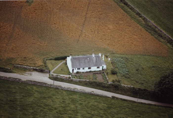
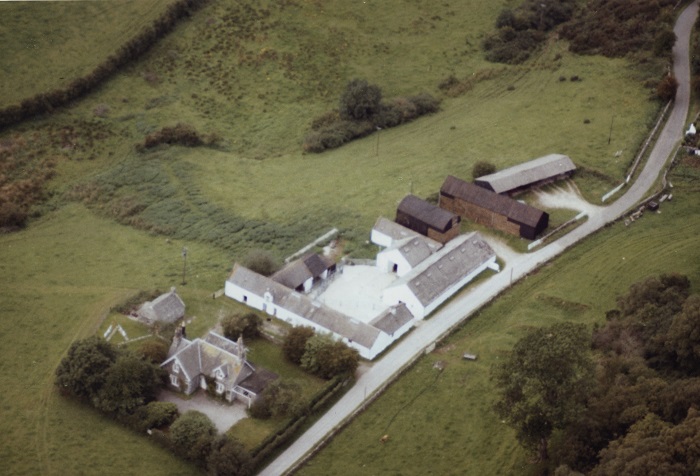
On the way "Roon the Watter" - Low Creoch.
Dalmalin & Low Barlay.